Restoring River Health. Building Flood Resilience.
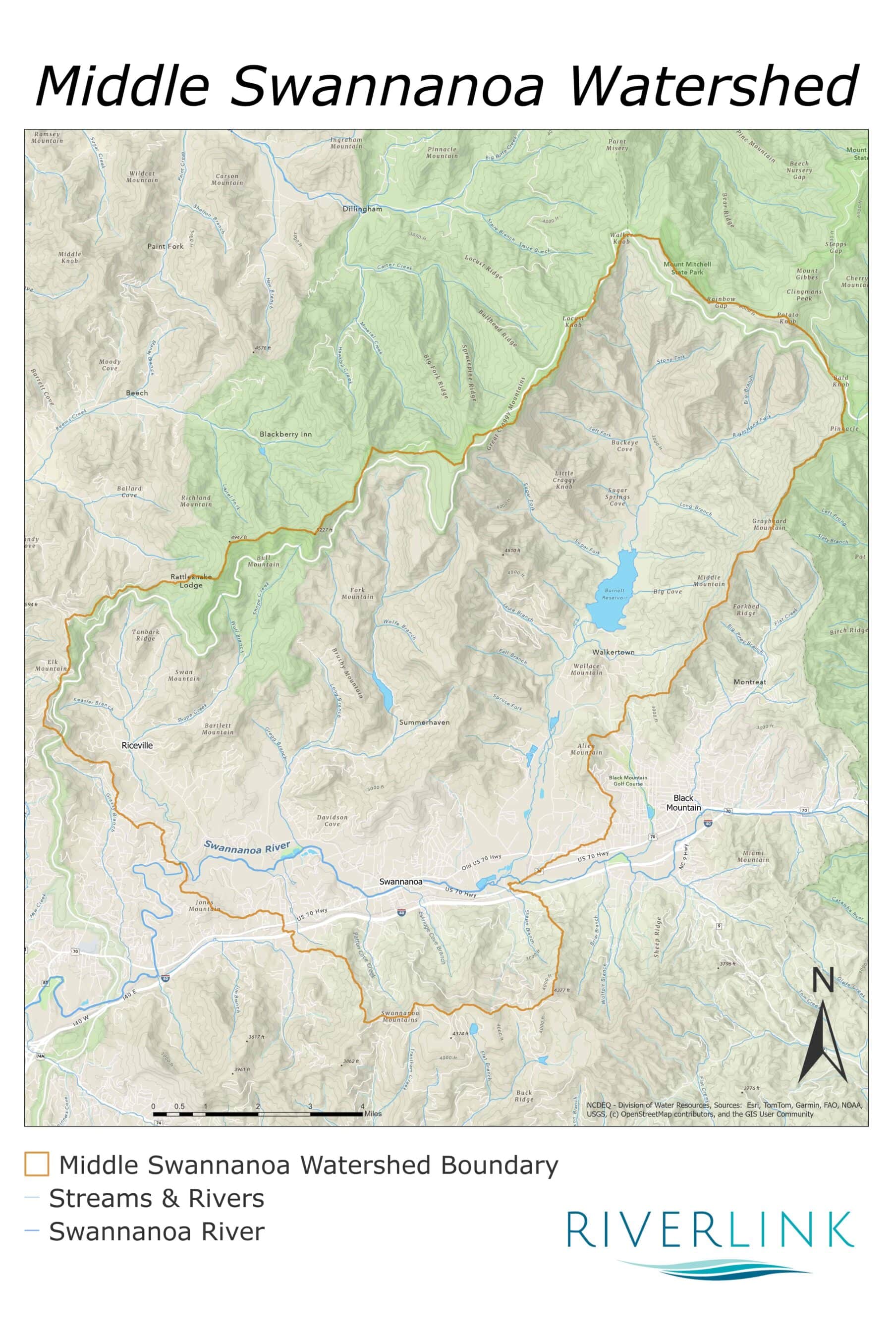
The Middle Swannanoa River flows through the heart of Swannanoa, from the outskirts of Black Mountain downstream to the western boundary of Warren Wilson College. Along the way, it connects neighborhoods, farms, and small businesses before joining the French Broad River. This stretch of river supports a diversity of wildlife, including belted kingfishers, trout, and the Swannanoa darter, a small fish named for the river it calls home.
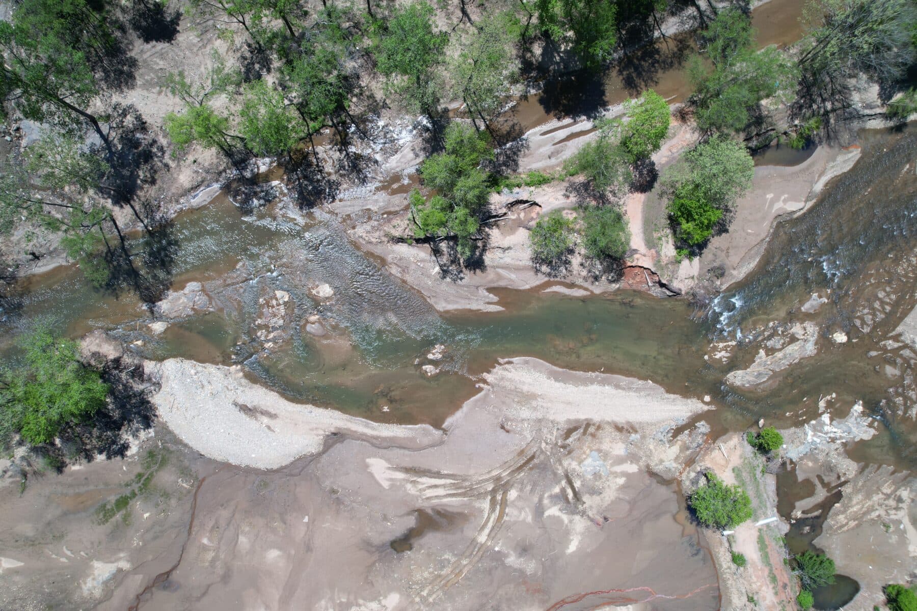
In September 2024, Tropical Storm Helene brought devastating flooding to the Swannanoa River watershed, severely damaging streambanks and destroying streamside vegetation. In response, RiverLink partnered with Wildlands Engineering to assess storm damage and identify opportunities for river restoration and flood resilience along the Middle Swannanoa River. The estimated cost to repair the damage and improve flood resilience is $10-13 million.
From Damage Assessment to Watershed Action Plan
The assessment revealed an opportunity to look beyond repairing storm damage. Before Helene, the river was already listed as impaired due to bacteria and an unhealthy aquatic macroinvertebrate community. These small, bottom-dwelling organisms are important indicators of stream health because many are sensitive to pollution.
To address these longstanding water quality issues, RiverLink expanded the damage assessment into the Middle Swannanoa Watershed Action Plan—a framework for prioritizing projects, building partnerships, and directing future investments toward a healthier river and a more resilient Swannanoa community.
The plan has been approved by the North Carolina Department of Environmental Quality (NCDEQ), making RiverLink and its partners eligible to pursue additional funding for projects that address water quality issues throughout the watershed. This approval is an important step toward turning the plan’s recommendations into on-the-ground restoration projects that improve river health.
What You Can Do to Help the Swannanoa River
Manage Stormwater Runoff
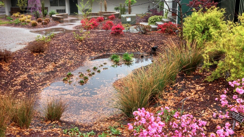
Managing stormwater runoff is one of the most effective ways to protect clean water in rivers and streams. As rain falls on rooftops, driveways, and parking lots, it collects oil, sediment, fertilizer, and other pollutants, then carries them directly into our waterways instead of soaking into the ground, as nature intended. Rain gardens, swales, and rain barrels slow runoff and allow filtration of these pollutants. View our WaterRICH Guide for detailed guidance on how to incorporate these practices on your property.
Restore Riparian Buffers
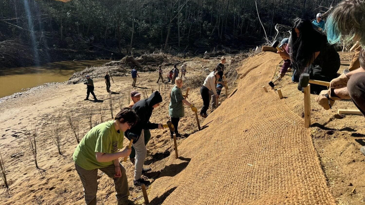
Eroding streambanks are a major source of the sediment harming water quality in the Middle Swannanoa River. The plan identifies priority sites for stabilization work and planting native woody vegetation (riparian buffers) to hold the soil in place, protecting adjacent property, and creating important habitat for fish and wildlife. Learn more about riparian buffers here.
Featured Projects
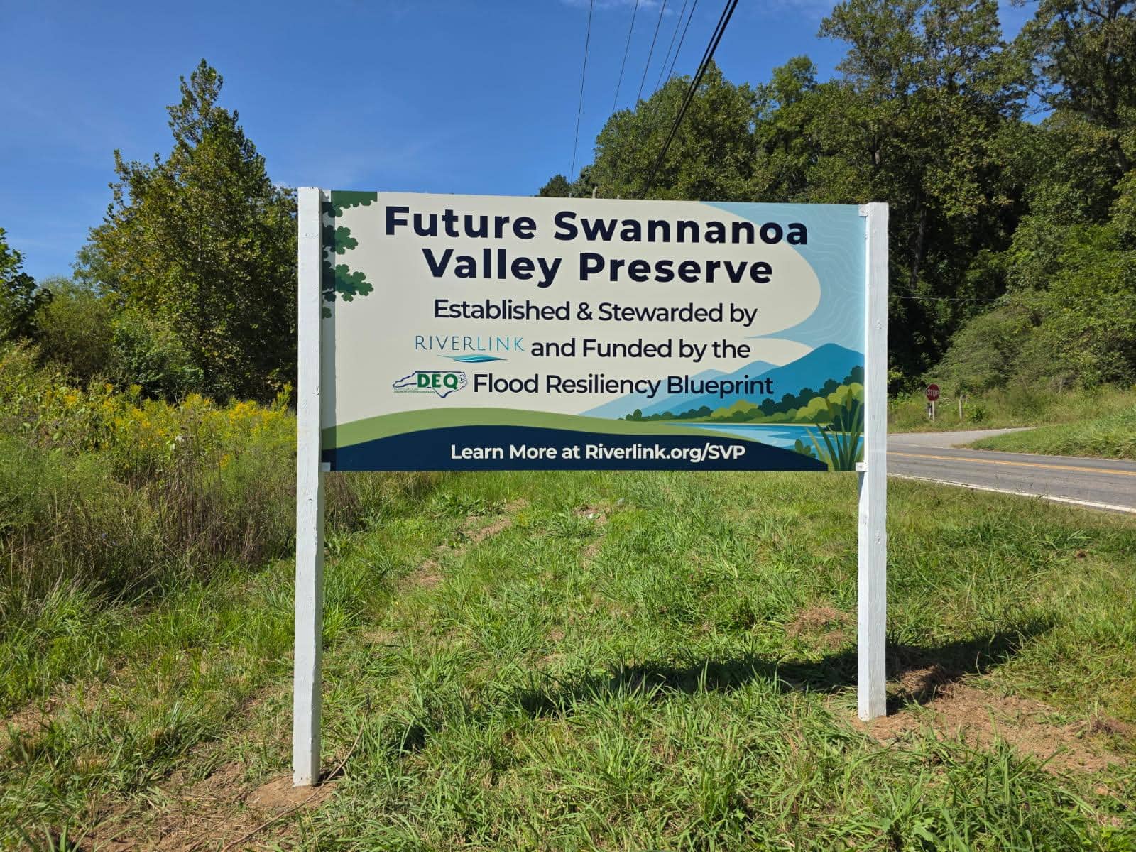
Swannanoa Valley Preserve
Along Old US 70 in Swannanoa, RiverLink is working to transform a flood-prone property into public green space. In addition to providing passive recreation opportunities, this project will construct a “flood bench” that gives the river more room to spread out and slow down during flood events. Additional features include a restored stream and wetland that will capture and filter runoff before it reaches the river. Click here to learn more.
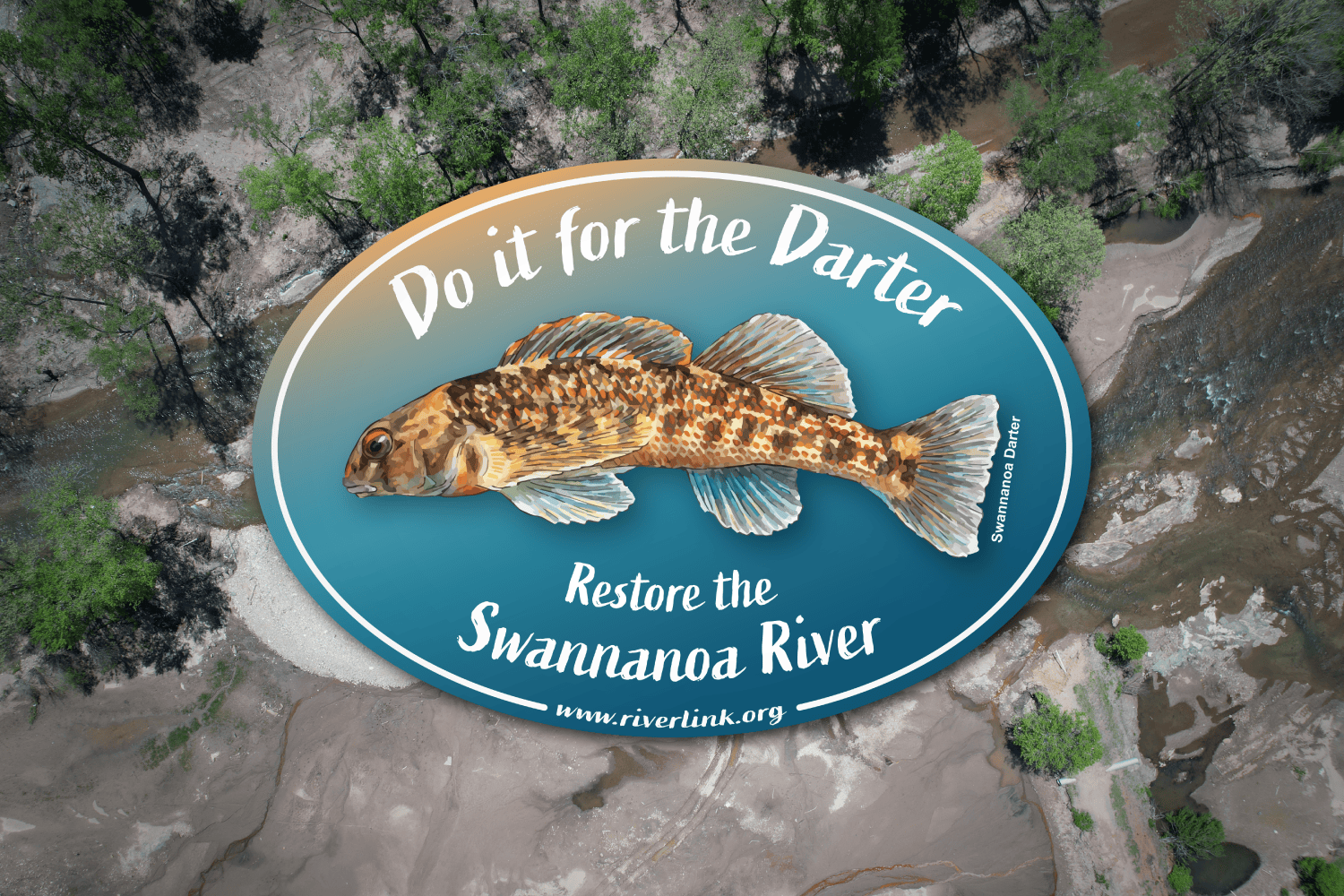
Do it for the Darter
After Helene scoured the Swannanoa Valley, a biologist and his Warren Wilson College students waded in to see what had survived, and found the Swannanoa darter. This small native fish, named for the river and found almost nowhere else, needs clean, rocky streambeds to survive. Read why this finding gave us hope for the river’s recovery.

Middle Swannanoa River Helene Damage Assessment
After Helene, Wildlands Engineering walked and mapped nearly seven miles of the Middle Swannanoa, from the edge of Black Mountain to Warren Wilson College. Three out of four riverside properties lost streambank or floodplain, and more than 40 acres of streamside forest were washed away. The resulting plan lays out 100 restoration projects, from replanting banks to giving floodwaters room to spread, so the river and the communities along it are better prepared for the next big storm. View the plan overview.